Ceara, Brazil
Profile
Capital
Area
Population
Population density
Government
Language
Currency
HDI
Rural Data
Rural Popullation
Nº rural communities
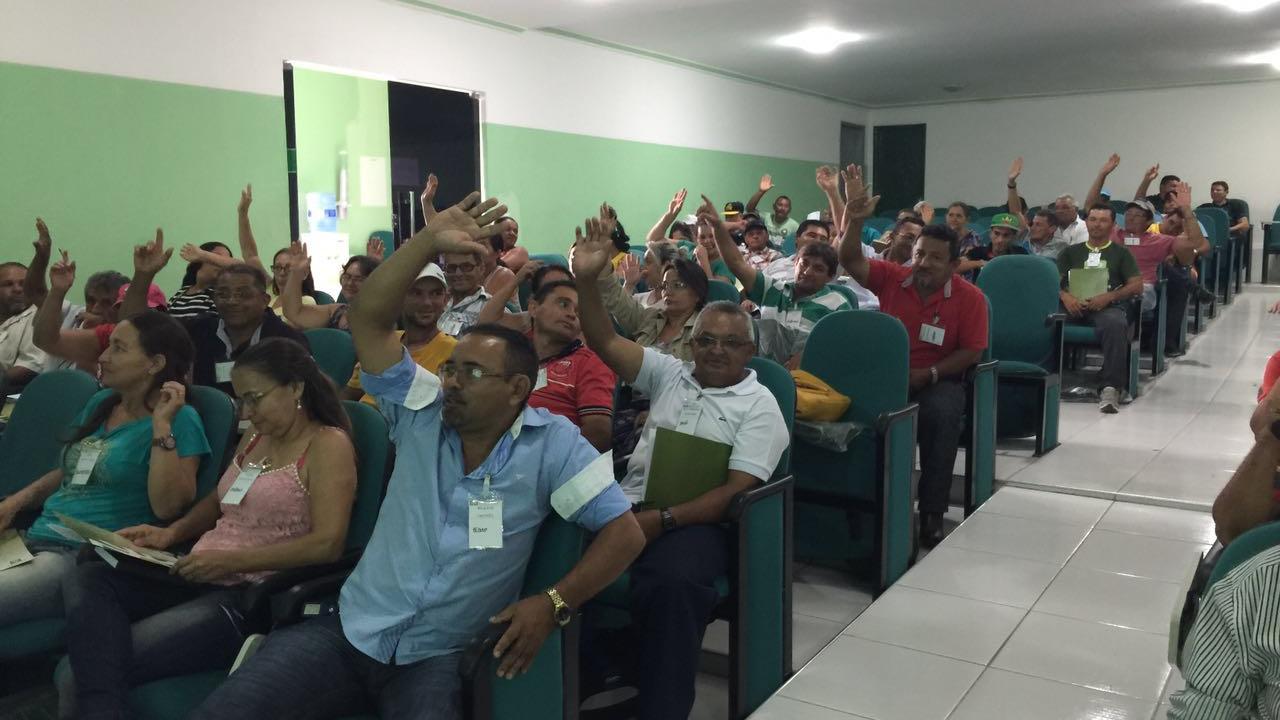
Ceara is one of the 27 federative units in Brazil. It is located in the northeast of the country. In the north and northeast, it gives onto the Atlantic Ocean. It shares its eastern border with Rio Grande do Norte and Paraiba, Pernambuco is to the south and Piaui to the west. The capital city and most populated municipality is Fortaleza, seat of the Metropolitan Region of Fortaleza (RMF). All told, the state includes 184 municipalities and is known across the country for the beauty of its coastline, religious celebrations, and for being the cradle of talented humourists.
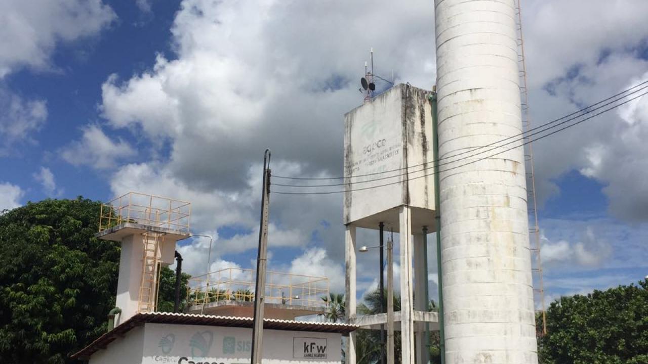
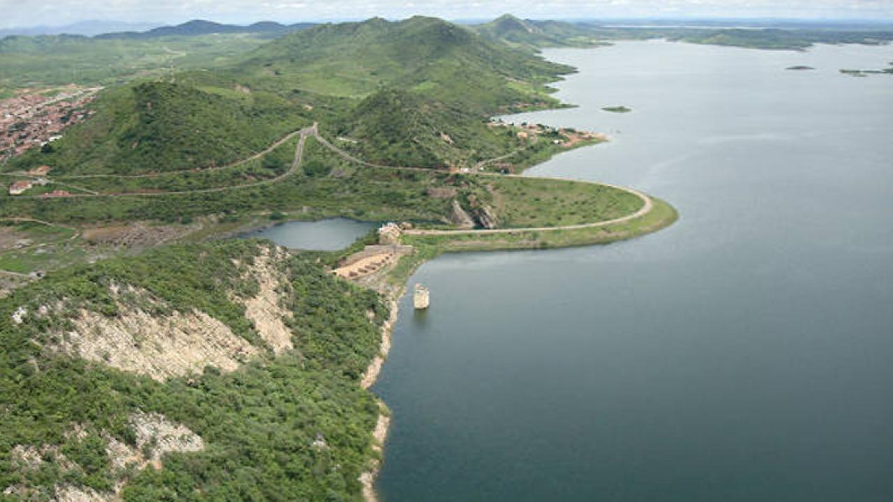
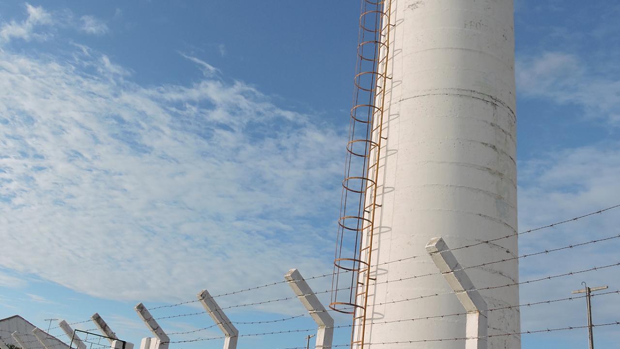
Ceara houses 55% of Brazil’s scrublands and is known as the “Land of Light” given the great number of sunny days, and more so because it was the first state of the federation to abolish slavery in 1884, four years before the Golden Law. The weather in the State is mainly semi-arid, with rainfalls under 500mm in parts of the Inhamuns region, although precipitation can total 1,000 mm in other areas characterized by a mild, semi-arid climate, for instance, in Cariri and in the cities located relatively close to the coastal strip. The Ceara region is divided into 12 river basins, taking into account the split of the Jaguaribe River into Upstream, Midstream and Downstream. This basin flows across 50% of the state, with a total length of 633 km. The two biggest water reservoirs in Ceara are dikes along the Jaguaribe: the Orós dam and the Castanhão dam, with storage capacities of 2.1 and 6.7 billion cubic meters of water. The dam of Castanhão is still the largest in the country.